If you’re looking for a super-scenic day trip hike while staying with us here at Inn on Mill Creek near Asheville, NC, consider a drive on the Blue Ridge Parkway to Graveyard Fields. Is it a graveyard? Nope. Is it a field? You could say that… but it’s so much more. Let’s explore.
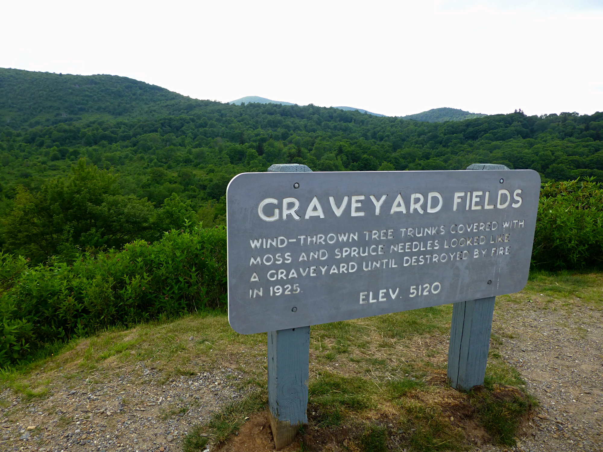
Graveyard Fields is a valley at more than 5,000 feet above sea level, filled with wild blueberry bushes, rhododendron, laurel, and scattered trees, with a mountain stream running through it and a waterfall on each end. It gets its creative name from a time when a rare weather event (many suspect a windstorm) toppled all of the trees centuries ago, making the stumpy and uprooted remnants look like gravestones. A fire in the 1920s destroyed much of what was left in terms of trees, and the result is this awesome meadow-like landscape that is pretty unique for our area.
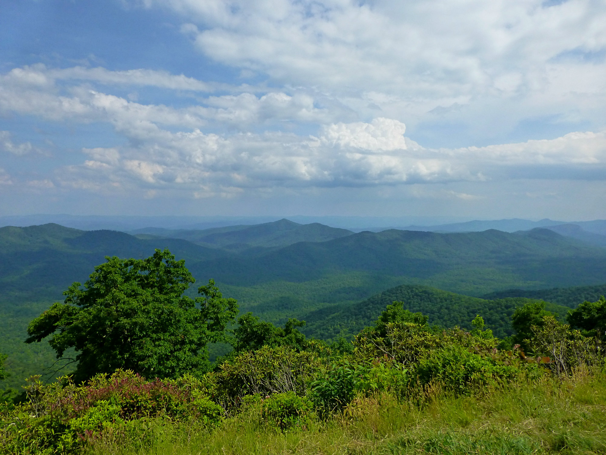
To get there, take the Blue Ridge Parkway about 35 miles south of Asheville to the Graveyard Fields Overlook at Milepost 418.8. This drive along the Blue Ridge Parkway, a scenic byway, is spectacular beginning in May when everything greens up and wildflowers abound. The views from various overlooks are nothing short of amazing.
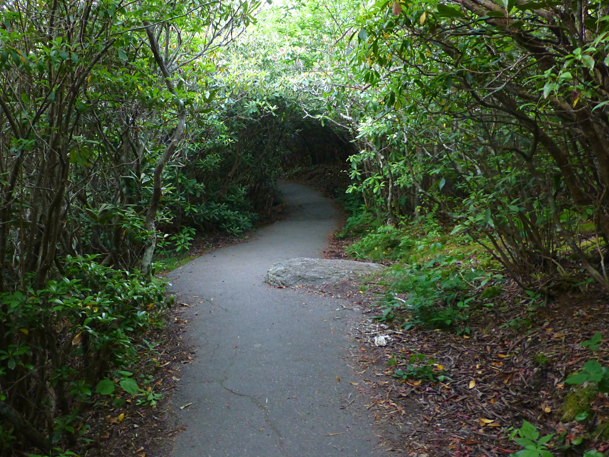
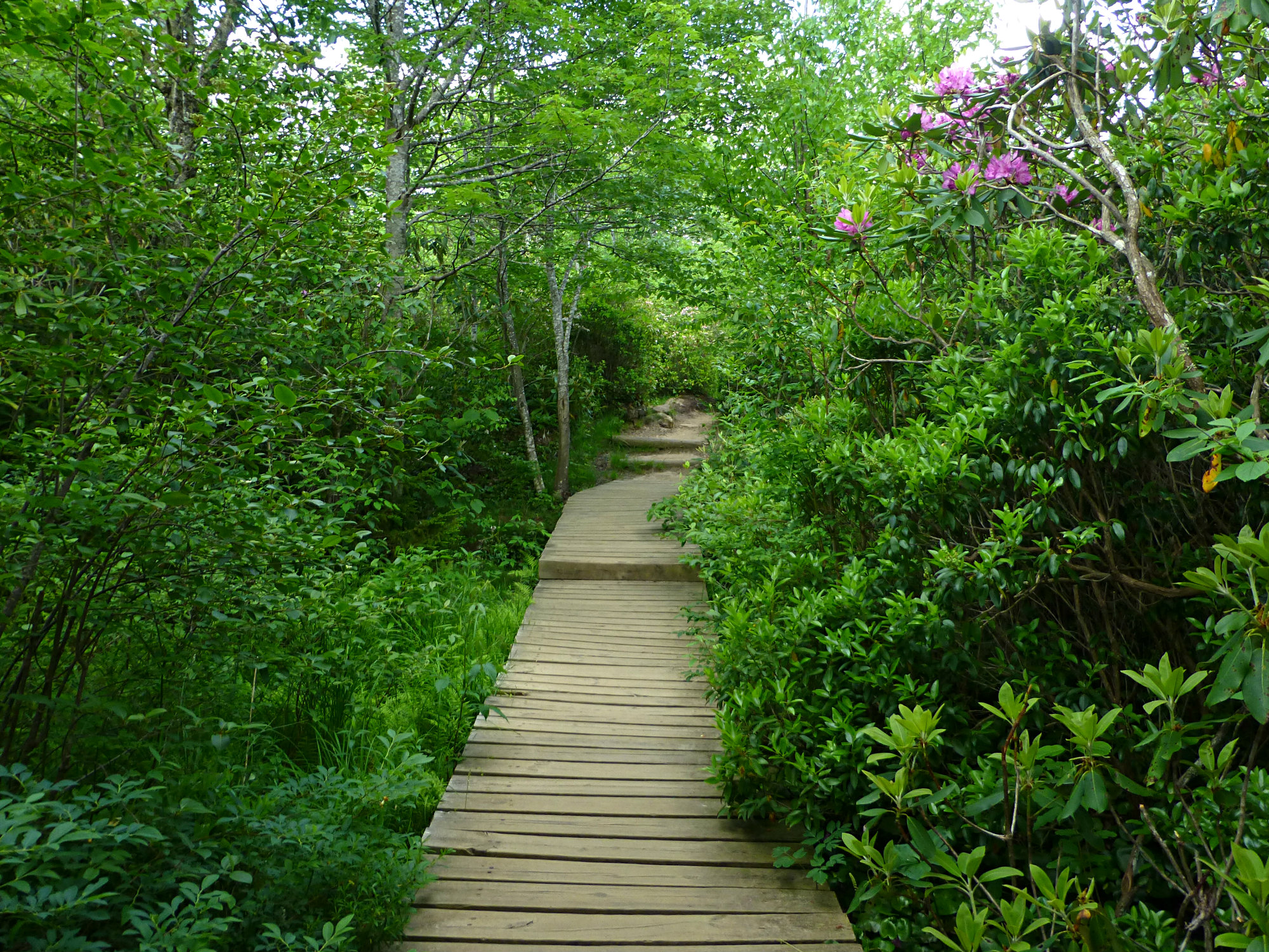
Once you get to the Graveyard Fields Overlook, a set of steps leads down from the parking lot and onto a paved path on a descent, through tunnels of rhododendron and laurel that Innkeeper Brigette likes to call “Keebler Elf Territory.”
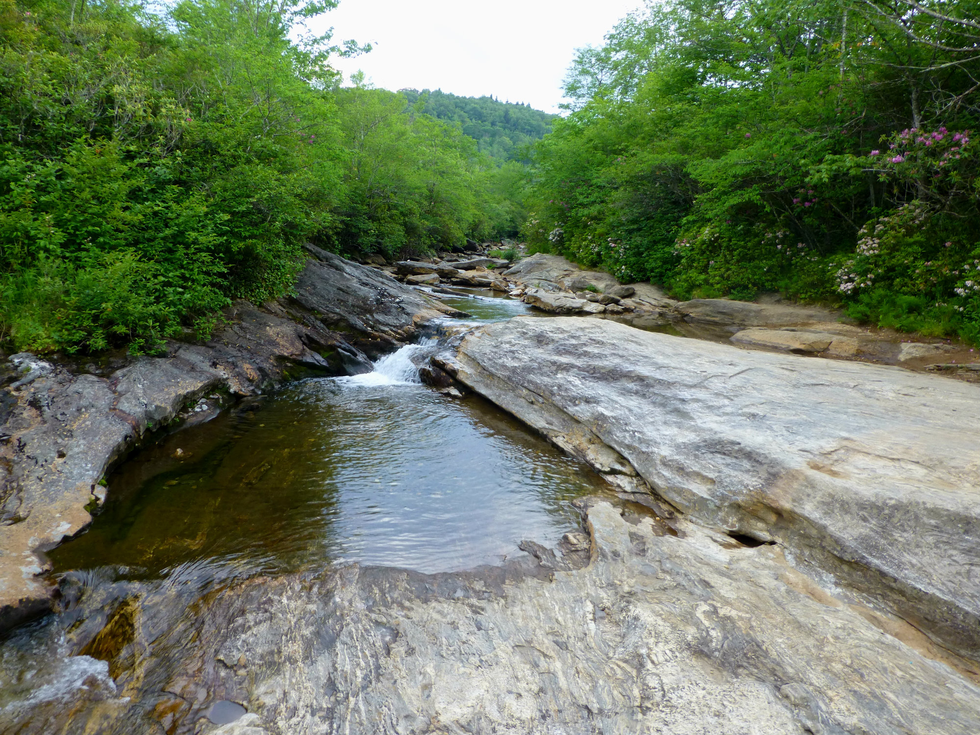
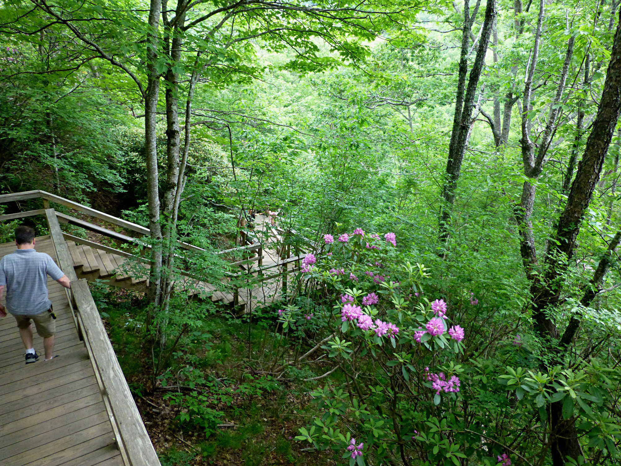
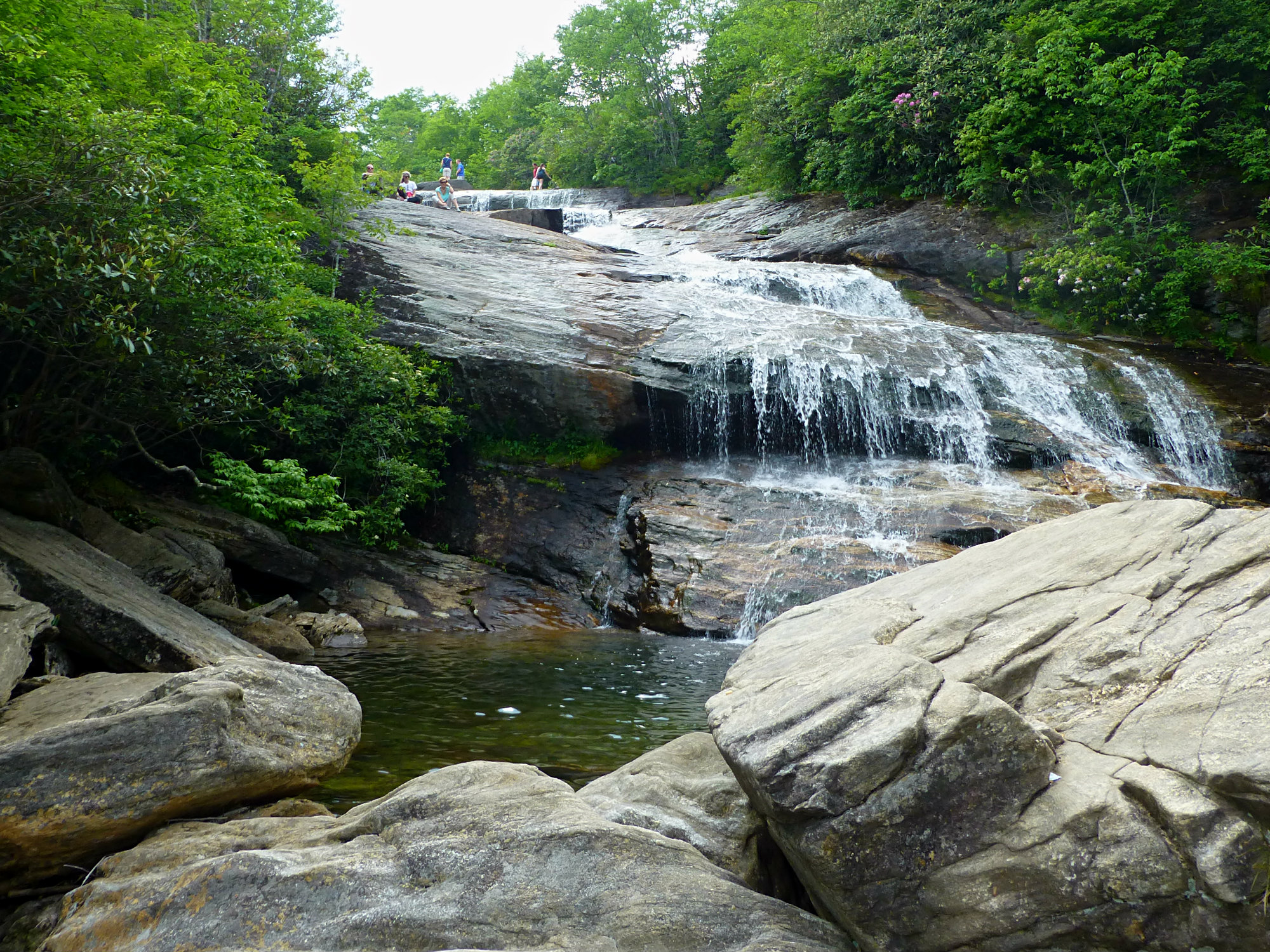
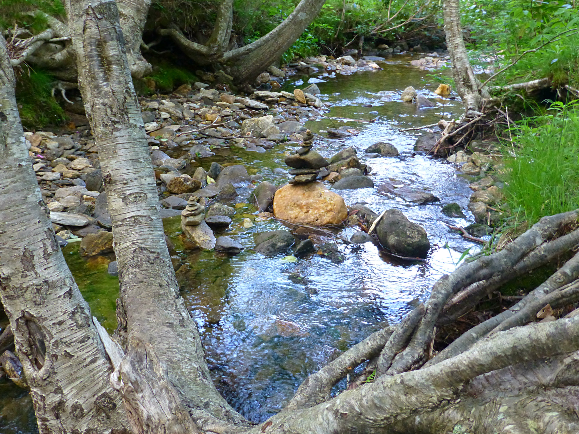
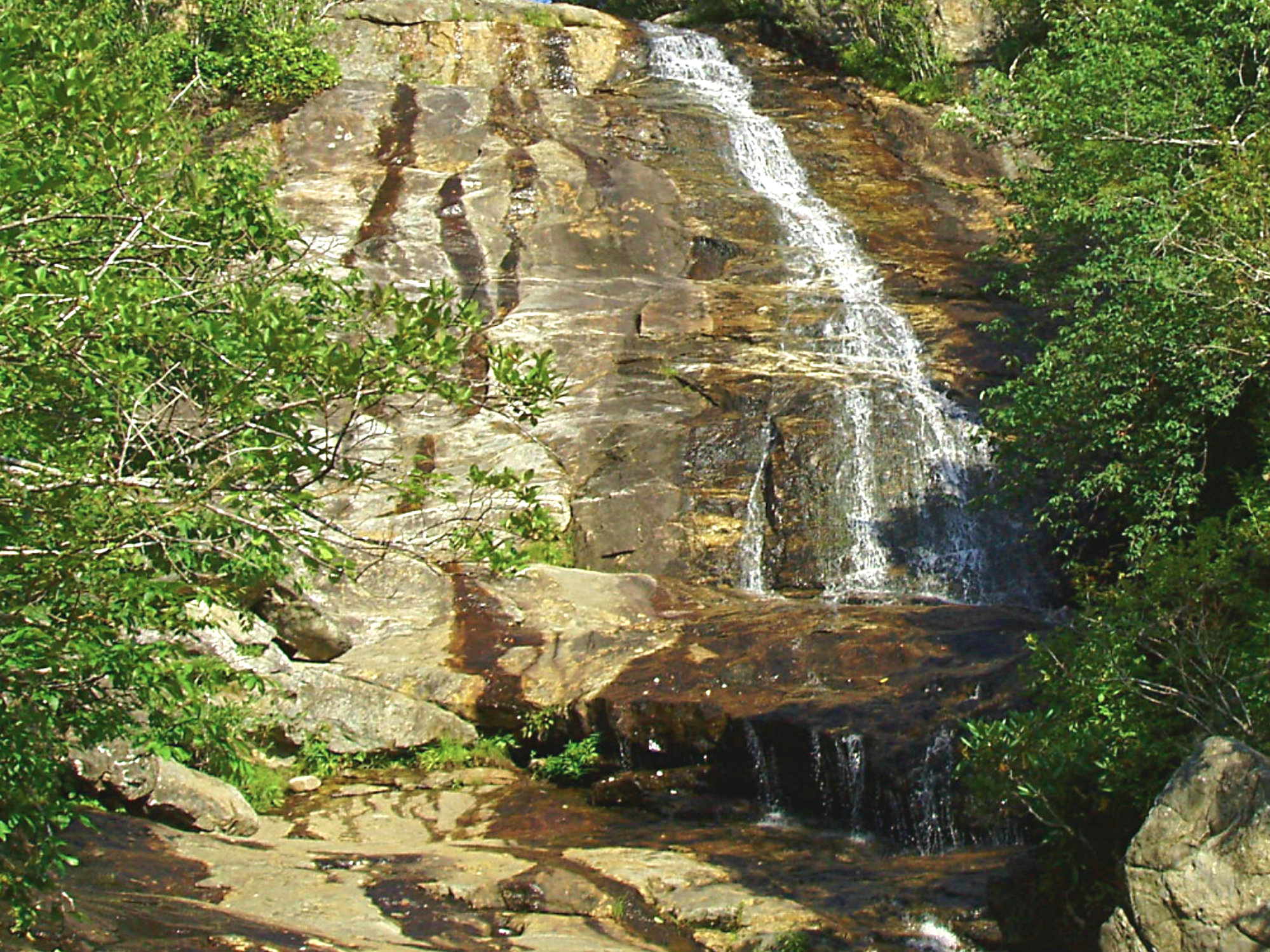
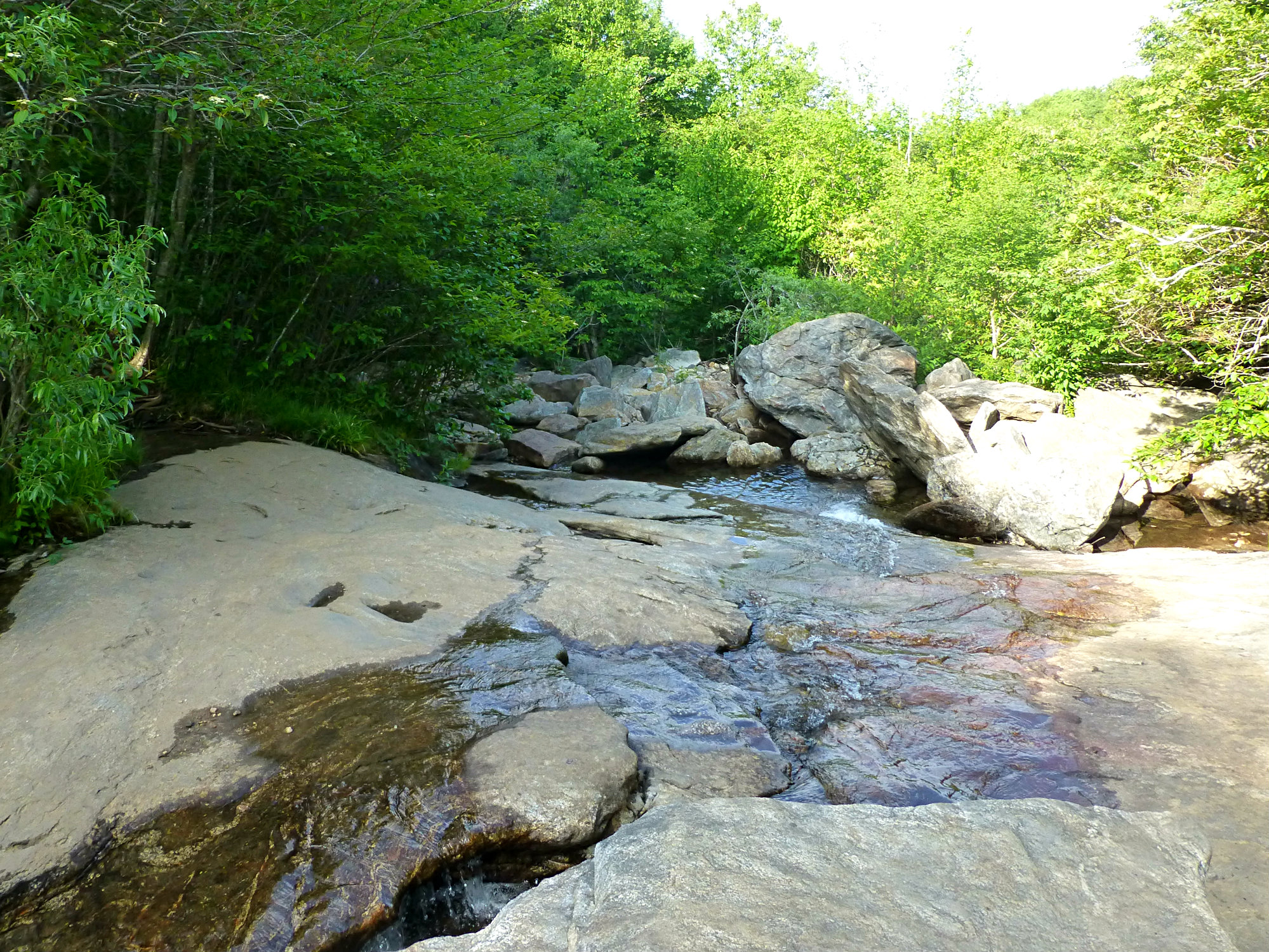
From there, a bridge over a crystal-clear stream (the Yellowstone Prong) takes hikers to a choice of trails, either to the lower falls on the right or the upper falls on the left. Most people choose the shorter, right-hand trail to the lower falls, which includes another set of nearby stairs leading down to the base of the waterfall. This area has a nice natural swimming hole (so expect crowds on weekends and warmer days), as well as several places to relax on large flat boulders and enjoy the scenery.
The lower falls is often called Second Falls on maps. Note that all of the downhill travel means you will be heading up, up, up to get back to the parking area. It’s about a 1/3-mile trek from the parking area to the lower falls.
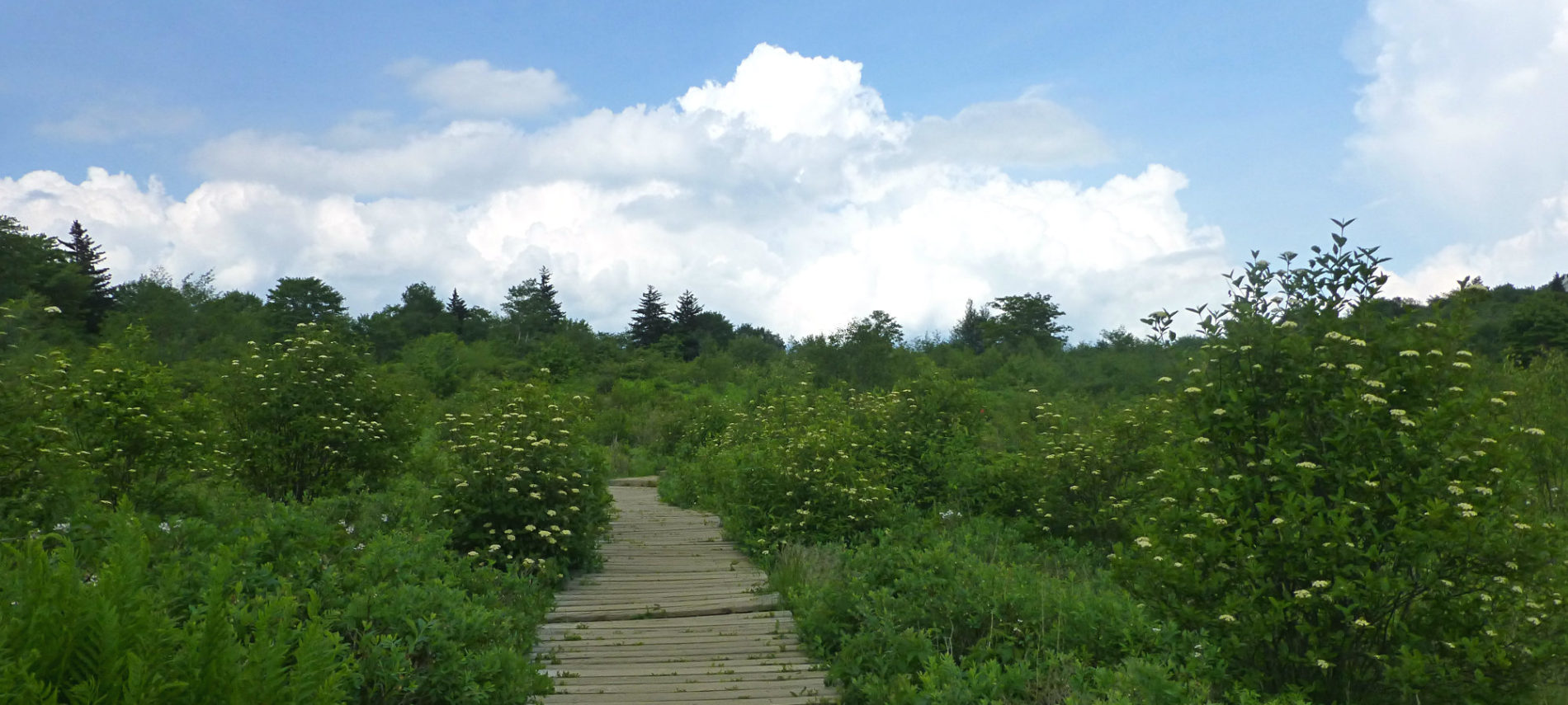
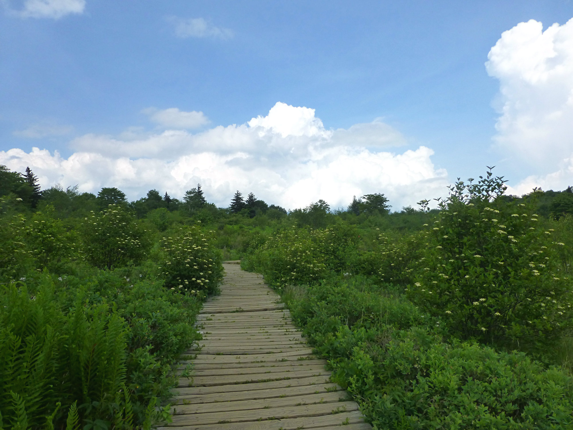
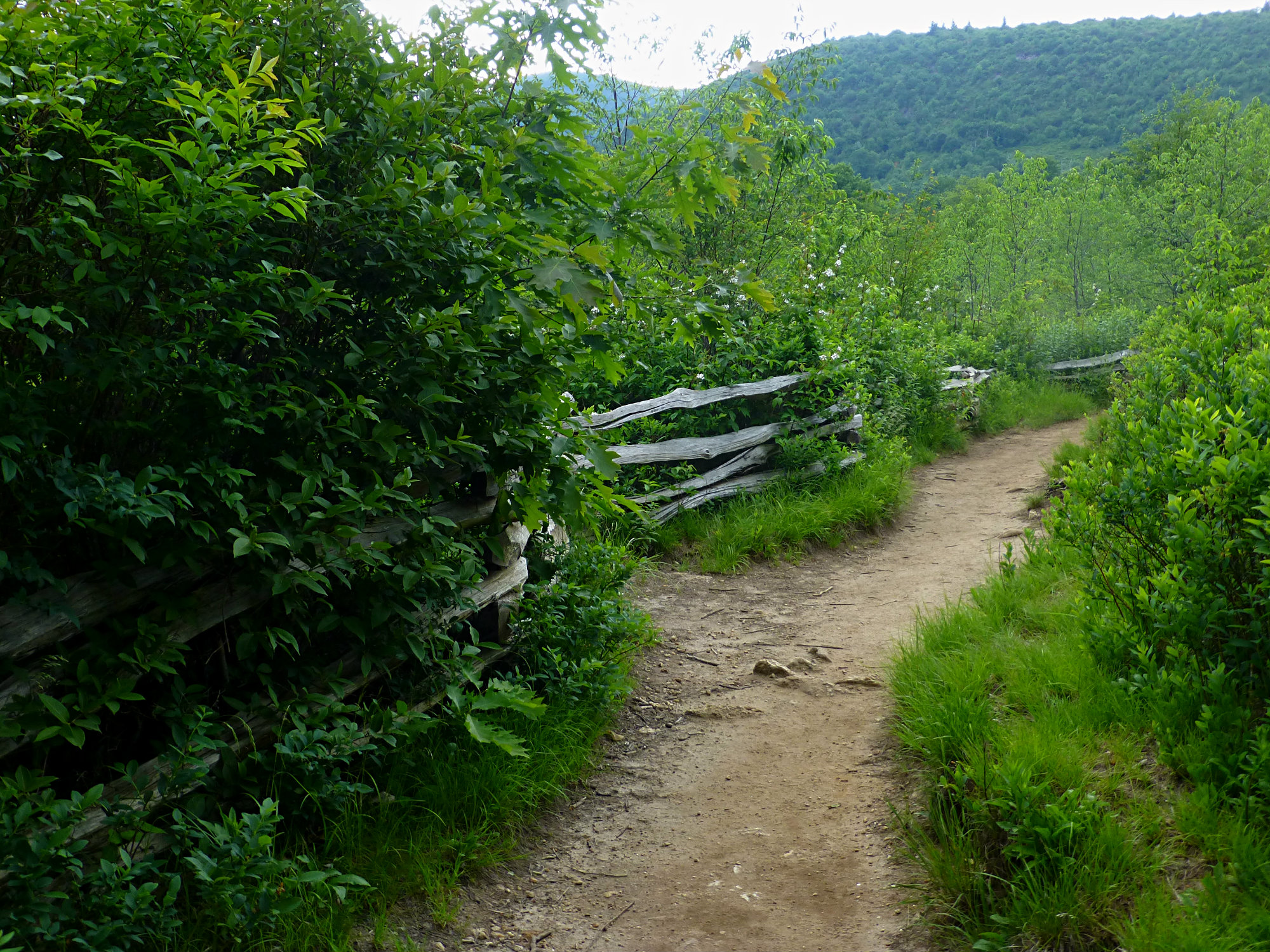
If you want to continue on to the upper falls after the lower falls, or bypass the lower falls altogether, you can head left after the bridge. This route will take you through the “fields” part of Graveyard Fields. In the springtime and into early summer, you’ll enjoy flowering shrubs everywhere, in late summer comes the opportunity to pick wild blueberries, and in early October, Graveyard Fields gets the distinction of being one of the earliest places to see fall color thanks to elevation above 5,000 feet and all of those shrubs, which are ablaze in shades of red and orange.
The 1.5-mile trail will alternate between dirt path and boardwalks until you get to a more forested section of the valley. You’ll also see small tributary streams meandering through.
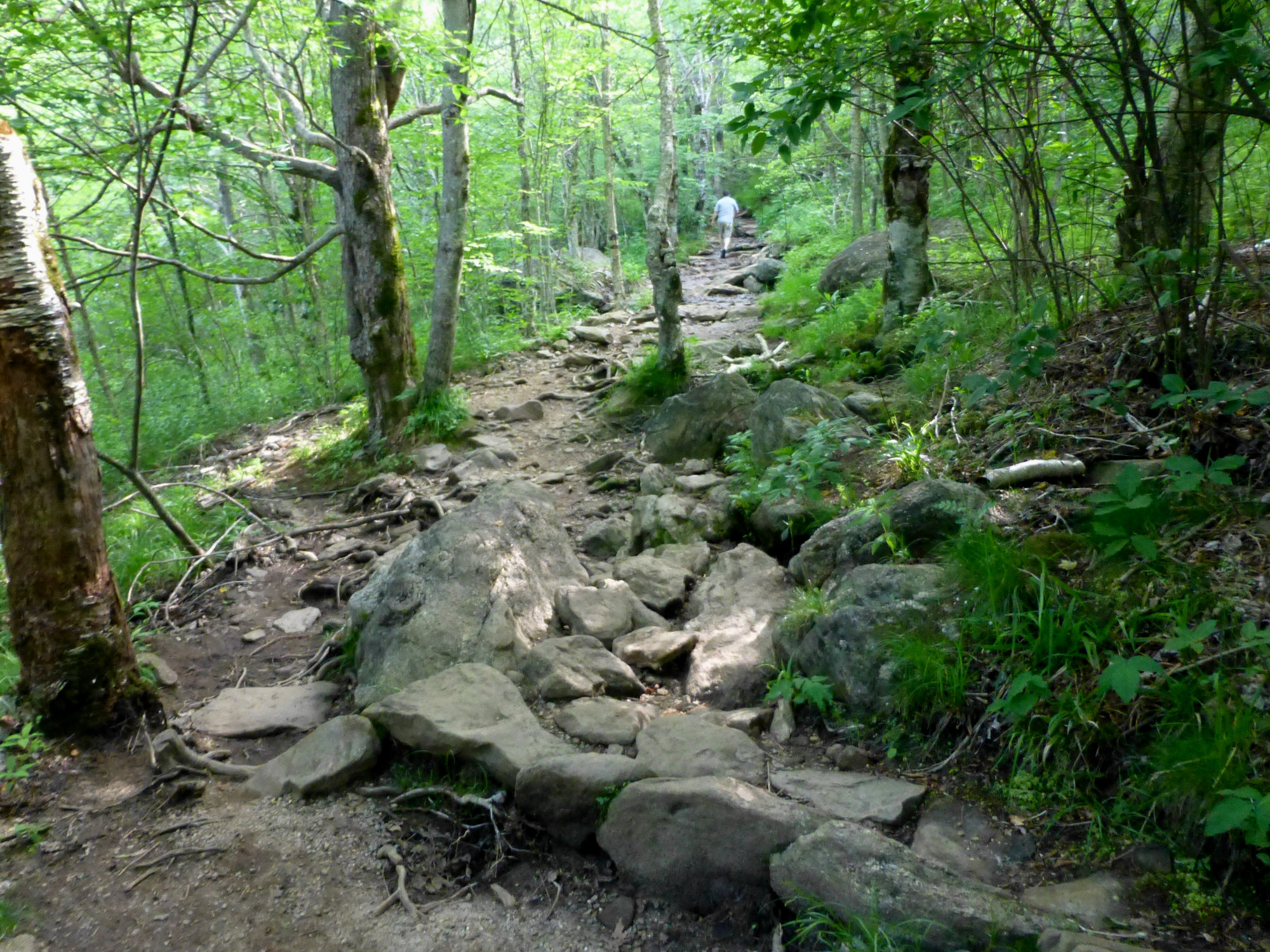
The last ten minutes of the hike to the upper falls is the most strenuous because of a 300-foot elevation gain on a section of trail that begins to resemble other trails in the area, with tree roots and mid-size rocks to navigate around.
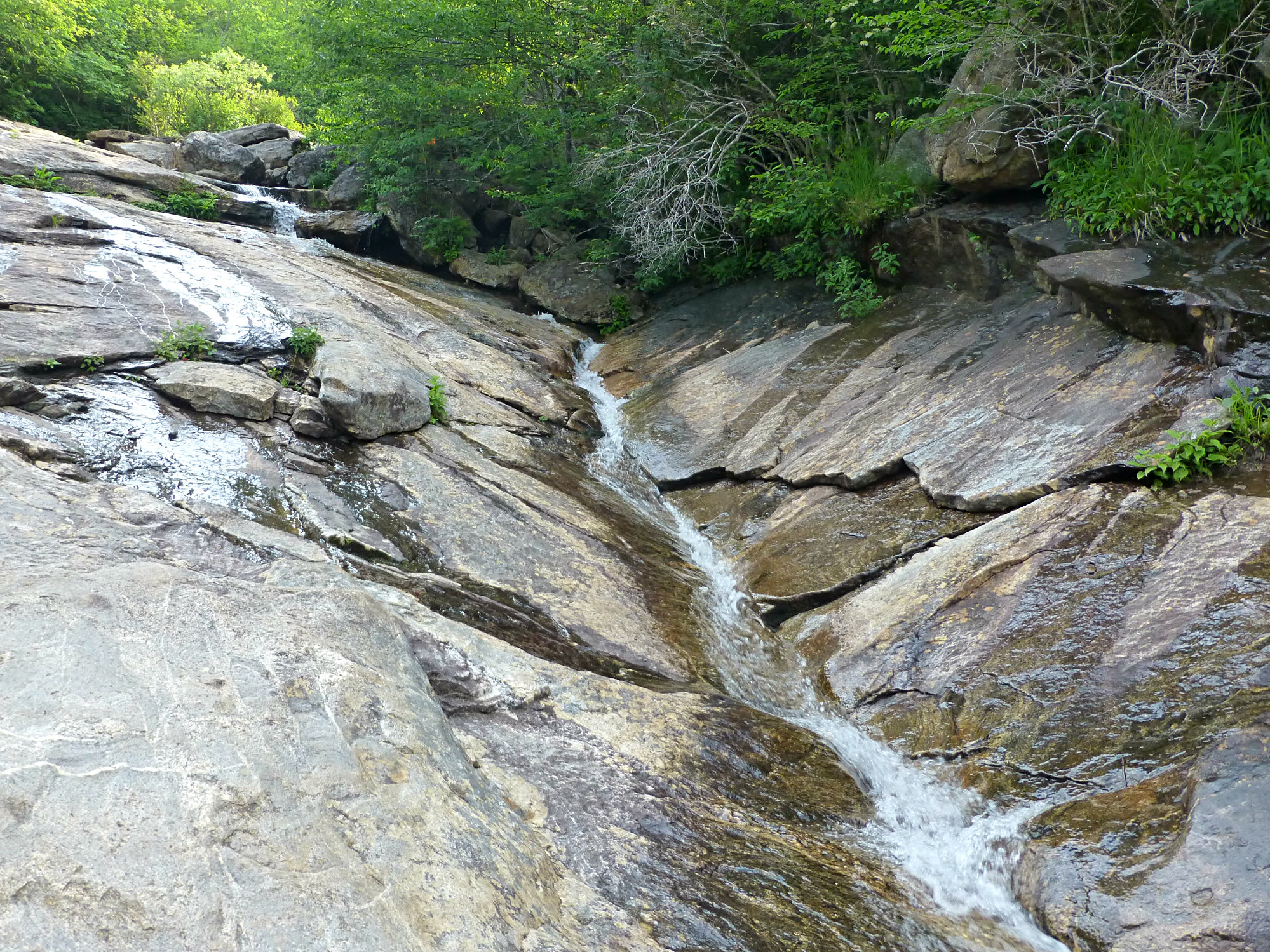
The trail splits before the upper falls: head right to get to the waterfall. Going more straight/to the left will lead to a long sliver of water that glides gently down the surface of smooth boulders toward where the Yellowstone Prong flows through the valley, below the waterfall. The upper falls is not as dramatic as the lower falls, but the lack of foot traffic in comparison is definitely an advantage and makes this a pretty peaceful destination.
If you don’t want to return the whole way on the same trail, you can branch off after about 3/4 of a mile once you’re back in the “fields” by taking a right and crossing over the Yellowstone Prong to take a 2/3-mile loop trail back to the start.

