As previously mentioned, we headed out on three separate days to go geocaching, which is essentially hunting for things that fellow geocachers have hidden by using GPS coordinates. Our Part 1 recapped our adventure on Christmas, and this entry will be all about our search for caches along the Catawba River to Catawba Falls on December 29, and to the peak of Kitsuma on December 30.
Some background on the Catawba River and Catawba Falls: The start of the 220-mile long Catawba River is about a 20-minute drive from the Inn on Mill Creek right here in our county, McDowell County, North Carolina.
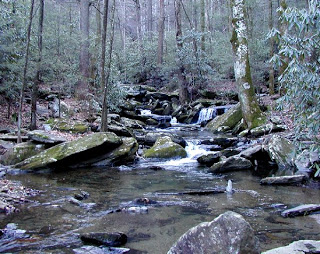
Near the start of the Catawba River
You can access a beautiful set of waterfalls from a trail that runs along the Catawba River (which is more like a creek at this point because it’s the headwaters of the river).
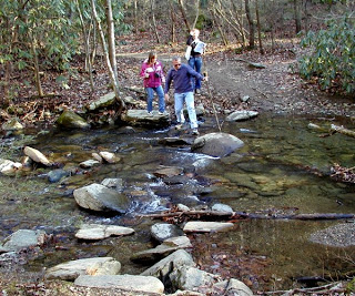
Crossing the Catawba River…piece of cake!
Part of the trail was previously located on private property, but the Foothills Conservancy made an agreement with the landowner and was recently able to purchase the land to make it formally open to the public.
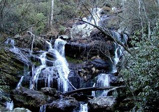
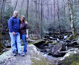
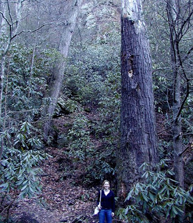
On December 29, we went with Mike and Carolina from Michigan, mostly to hike the Catawba Falls Trail, but also to see if we could locate one or more of the handful of caches hidden along the trail. We easily found See Spot Run, but didn’t give too much of an effort in finding the others because we were more interested in getting to the falls before dark. Even though the weather was beautiful, we knew the winter day was still going to be short. Enjoy the following photos that Dave took on the hike (click to enlarge):
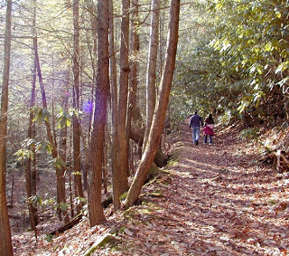
Part of the Catawba Falls Trail
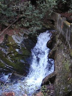
Water rushes through a former dam near the Trail
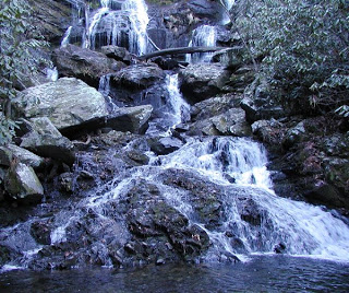
The lower portion of the falls
Unfortunately, we didn’t take any photos when we went to Kitsuma on December 30 with the innpugs in tow, but we did have success in finding the Cache of Kistuma Peak. We’ve hiked the Kitsuma Trail before, and our hike this time proved to be just as incredible in terms of weather and even better in terms of views. The nicest thing about the hike was that the sun was shining the entire time, warming up the damp pine needles on the trail and creating the heavenly scent of pine all around us as we hiked up the mountain.
One of the really great things about geocaching is that it allows you to see places you might not otherwise go. The Cache of Kitsuma Peak hunt leads you to a rocky overlook where the views are simply spectacular, and where the cache’s coordinates are written on a rock. What we didn’t realize is that there is more than one rocky overlook. Our GPSr seemed to be way off and we walked up and down the path several times thinking the GPSr was not going to be any help at all.
Now, as explained in Part 1 of our Late December Geocaching entry, Brigette relies heavily on the GPSr, while Dave takes the method of looking around with his eyes at the actual location where the cache should be. So what happened? Dave ended up taking the GPSr and following it, and lo and behold, it led us to a little trail off the main trail to the correct outcropping of rocks. We were rewarded with views of the mountains around Ridgecrest, Black Mountain and Montreat. Plus, we got the coordinates and were able to find the cache. What a great day.

